


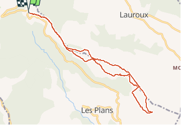

8.9 km | 12 km-effort


User


FREE GPS app for hiking
 SityTrail
IGN / Geographical institutes
SityTrail World
The world is yours!
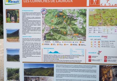
Trail Walking of 10.5 km to be discovered at Occitania, Hérault, Les Plans. This trail is proposed by mdauzat.
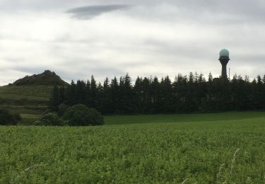
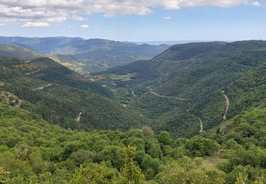
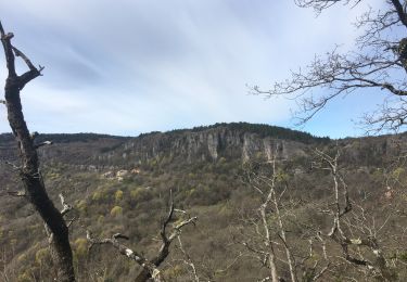
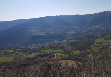
En édition automnale, cette belle boucle contourne, à partir du col du Perthus, sur une belle piste forestière, le plateau du Grézac, offrant en chemin de très beaux panoramas sur Les Plans, puis sur Lauroux, et à nouveau sur la vallée de Les Plans et, au sud, sur le Lac du Salagou, le mont Liausson et tous les environs. Aucune difficulté notable hormis deux brèves descentes un peu raides.
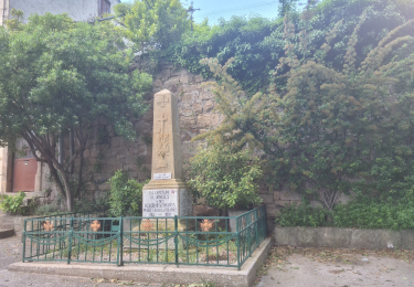
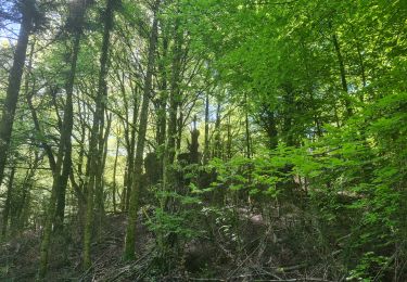
Les dernières pluies ont fait reverdir les prairies, la forêt dégage d'agréables senteurs, les couleurs d'automne commencent à apparaître, et les champignons sont de sorties... Le temps et doux et le soleil encore assez généreux : du bonheur !


Nordic walking
Nordic walking
Walking

Walking

Walking
Walking
Walking
Walking
Nordic walking